
AuScope GRID

The AuScope Grid component set out with the ambitious goal of changing the way the geoscience community, across a broad cross-section of state and national organisations, exchanged and accessed data. The successful project involved both technological development and social change. In many ways the Grid was the core of the original AuScope Infrastructure System.
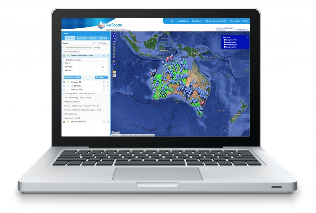
Data, information and knowledge management were central to the AuScope Infrastructure System as outlined in the original Investment Plan in 2006. The AuScope Grid was designed to be the foundation; to enable the progressive construction, refinement and ongoing enrichment of an online, live, four-dimensional Earth Model (see AuScope Infrastructure System page) for the Australian Continent. It was to be the vehicle that enabled geoscience and geospatial data and information to be combined with current knowledge.

Future Usage
A number of the more complex SISS components are supported by a broader international community as part of their respective open source communities. It is clear from these communities that the additional features developed under SISS have been adopted into the core code base and are receiving some additional development work from these groups with particular support for the European Union spatial data infrastructure project INSPIRE. The SISS geoserver enhancements to support GML application schemas, performed in collaboration with the AuScope and IUGS GeoSciML communities, has resulted in a substantial conformance test suite being developed.
The relationship between BoM-CSIRO-GA-ANDS-and others, and the general uptake of SISS has led to significant interest in using SISS for several national SDI initiatives with Government including the National Environmental Information Infrastructure. Deployments are already underway. CSIRO’s corporate IT group has a pilot project using the AuScope SISS infrastructure to publish CSIRO’s spatial data holdings across the organisation and externally as an enterprise service.
The Virtual Geophysics Laboratory, which uses the AuScope infrastructure for data access, has generated substantial interest with Geoscience Australia seeking to make the VGL an operational component of its systems. The CSIRO Mineral Resources Flagship is seeking to extend the concept to a broad range of geoscience analysis tasks. The Geological Surveys of Western Australia and South Australia are also seeking to expand their data services to include analytical capabilities in conjunction with industry and academia following the VGL example.

For more information on current and potential projects or accessing AuScope’s Grid and Interoperability infrastructure component for a project of your own please contact Program Leader, Dr Rob Woodcock